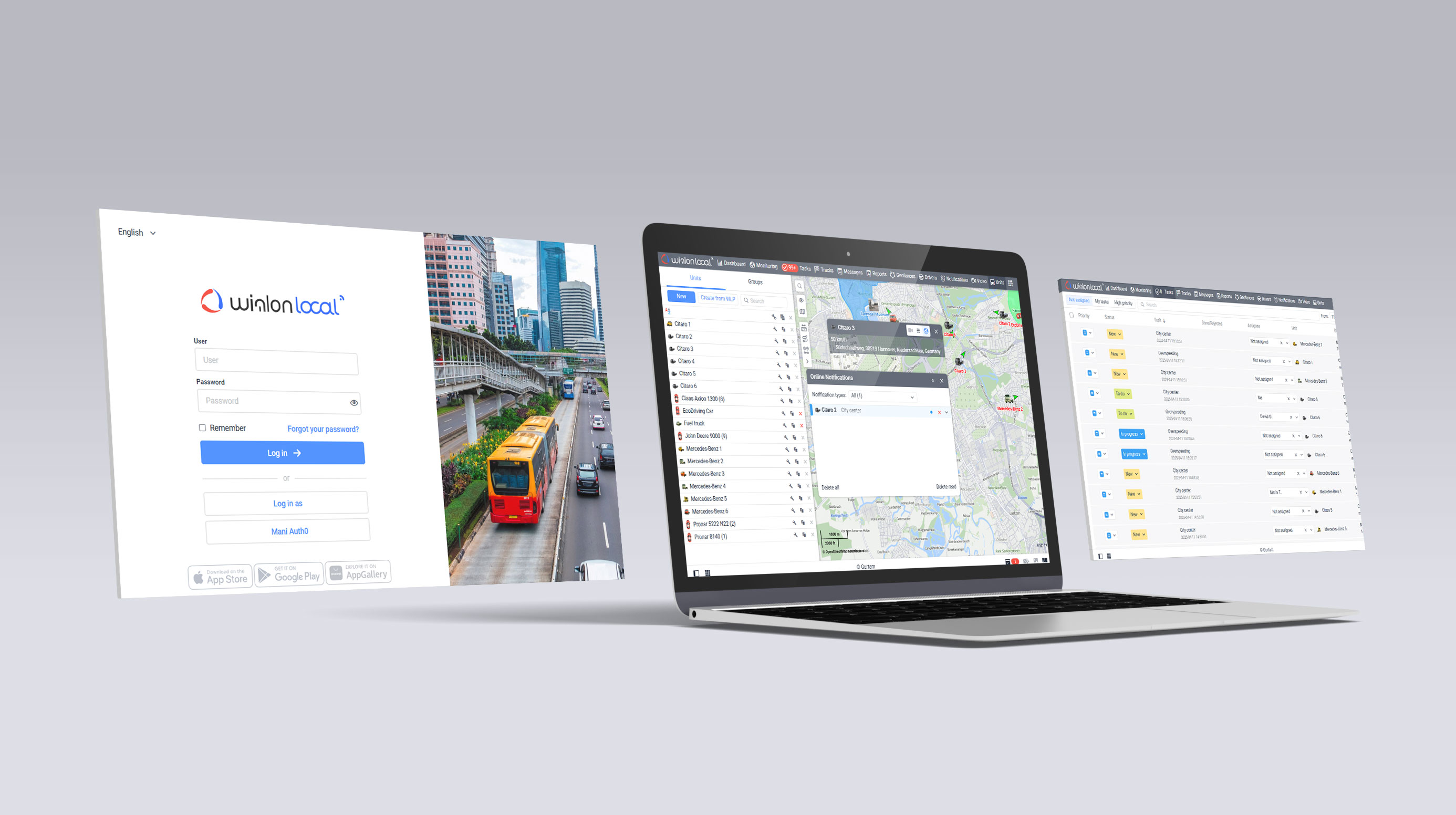
Today GIS (Geographic Information Services) technologies are widely utilized in a variety of applications. GIS services provide effective tools for scientific research, trade, management and are essential in telematics.
Wialon has a number of special features, including diverse cartography. Besides are own GIS service, the system supports many other mapping services used in tracking, such as Google Maps, Open Street Maps, HERE Maps, Bing Maps.
Our GIS service is called Gurtam Maps and was crafted exclusively for Wialon to suit the needs of our global customer base.
Gurtam Maps comes along with the standard Wialon Hosting package, so many of our users are quite familiar with the service. Wialon Local customers have an option to purchase the subscription to Gurtam Maps as well.
Visual improvements for effective tracking
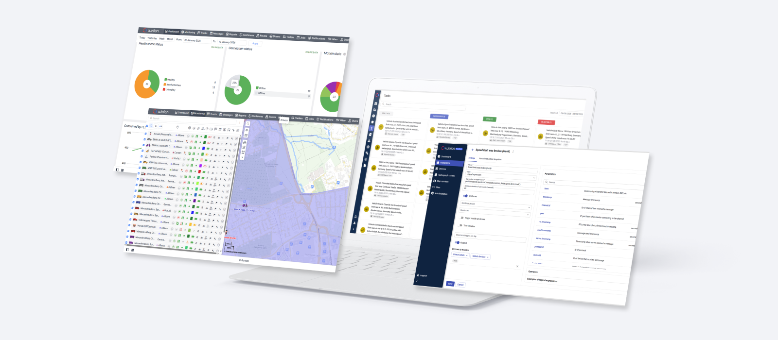
Visual aspect of Gurtam Maps was developed to facilitate unit management on the map. Coloring of various geographical elements make it easy to locate and follow units on the map, as well as review the history of their movements (Track functionality).
Geographic objects are now displayed according to the scale ‒ administrative division (city/region/country) for zoomed-out views and pseudo-three-dimensional objects for the zoomed-in views.
Reverse geocoding and addressing
We’ve implemented a highly flexible reverse geocoding algorithms, which allow users to customize address format. It's possible to select only those address elements that are needed to be displayed (country, region, town, street, and house) and place them in any order.
This may not be relevant for all regions, but another useful feature is the following: If a unit is out of town, you can preset such parameters of address display as Max distance from the unit and Min radius. It means that you can get address displayed in the following format: “name of the road and distance from the closest town“ or “name of the road and distance from the closest city”. How big this city should be to form the address, you indicate in “minimum radius of a city”. This function can be used to avoid displaying names of small towns.
Gurtam Maps' reverse geocoding system was designed exclusively for Wialon and processes up to 200 000 requests per second.
Speeding detection
Using preset GIS-data, Gurtam Maps can detect speedings by comparing unit's speed with posted speed limit. Speeding detection is used in reports and in the popular driving behavior app Eco Driving.
If no speed limits data is stored in certain geographic area, our specialists can integrate this data into the system at your request if you can provide the data.
Smart search
One of Gurtam Maps’ major advantages is smart search. When you search for an address, the system automatically suggests results as you type, and you don't have to type the address in a specific format. System typically takes 1/5 of a second to process a request.
Routes control
Recently, we’ve also developed a new functionality for effective route planning. It uses two key variables: distance and posted speed limits. Gurtam Maps routing algorithms will help you find the shortest way between checkpoints on the map, provide travel distance and estimate time of a trip.
While planning a route, besides, the initial and destination points, you can mark tens and even hundreds of check points. Request processing takes about 1/5 of a second.
100% area coverage
Gurtam Maps service covers up to 100% of the globe, so instead of coordinates users see precise physical addresses. Depending on the region, we license mapping from leading cartographic data providers, such as Navteq, CoreLogic and others.
Gurtam Maps service runs on five Wialon Data Center servers. GIS administration and management is carried out by Gurtam. We can integrate your own maps into GIS at your request and restrict access to them by our other clients.
Adaptability
Gurtam Maps is compatible with Wialon mobile client. The system analyzes and adjusts to screen resolution of a mobile device used and provides the highest quality picture on any display.
As was mentioned before, Gurtam Maps is available as a subscription for Wialon Local customers and has many advantages over WebGIS alternative available by default.
Stay tuned for news and updates and have a good week!


.png)
