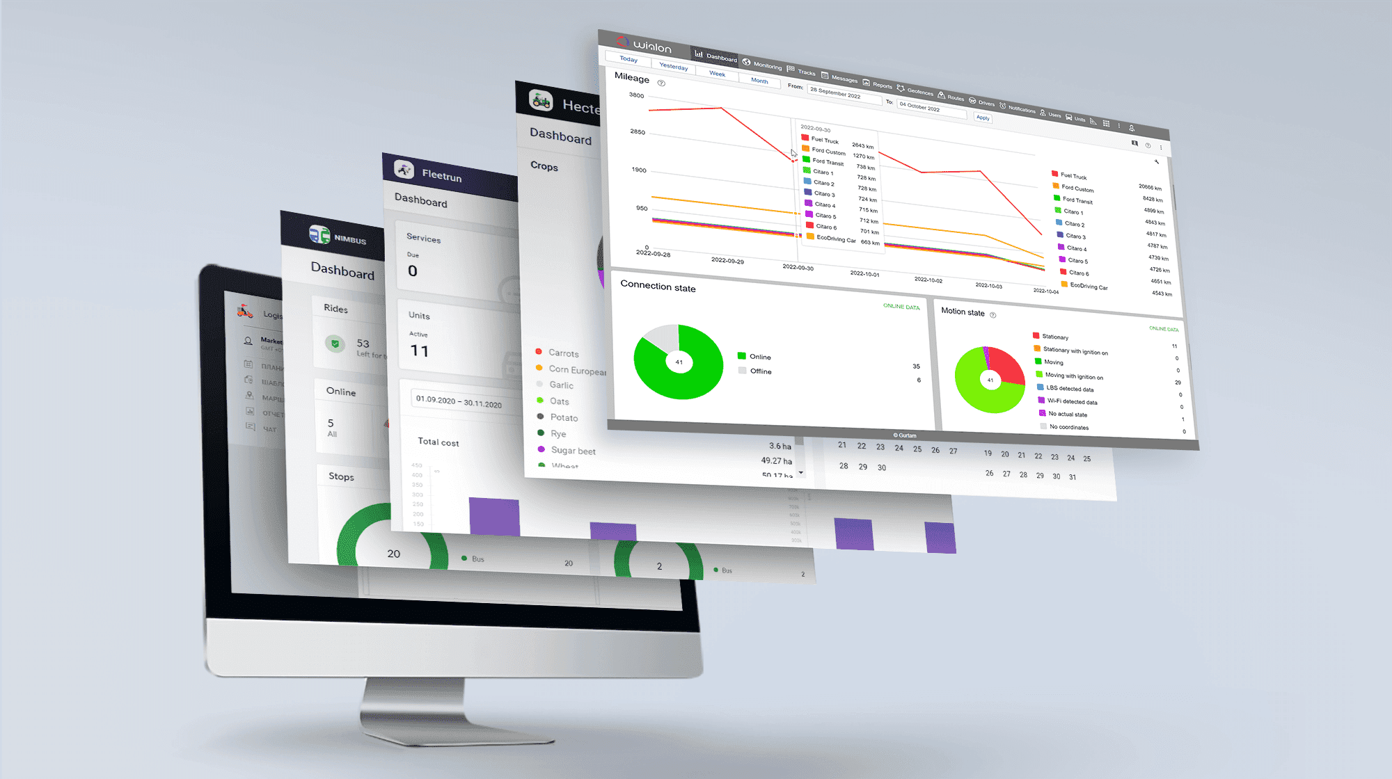
Wialon: elevating fleet digitalization worldwide
Your trusted partner in the fleet management business
- Quick start as a service provider
- Suited to startups and enterprises
- Affords projects of any complexity

Key reasons for choosing Wialon
1
Real-time tracking and sensors
Monitor numerous parameters real-time
2
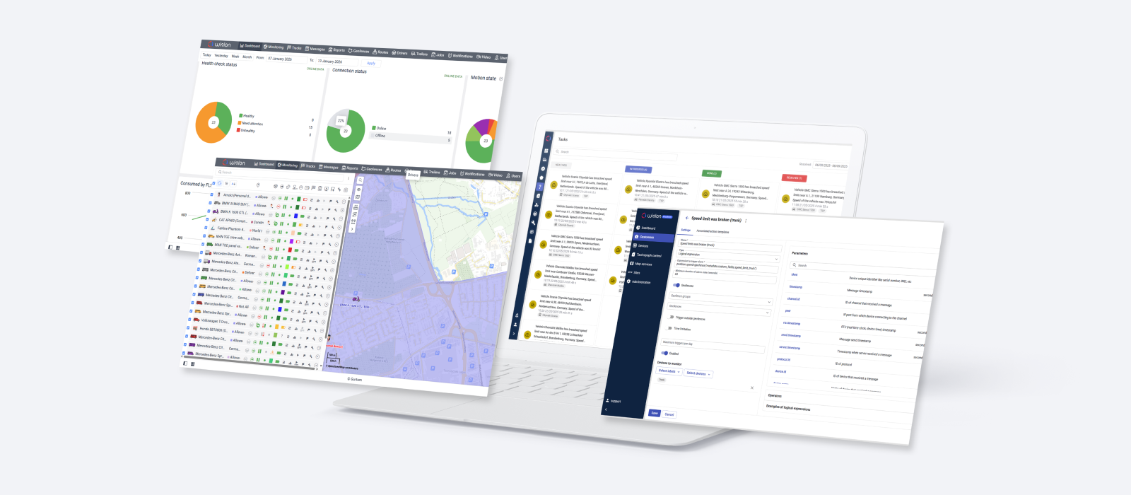
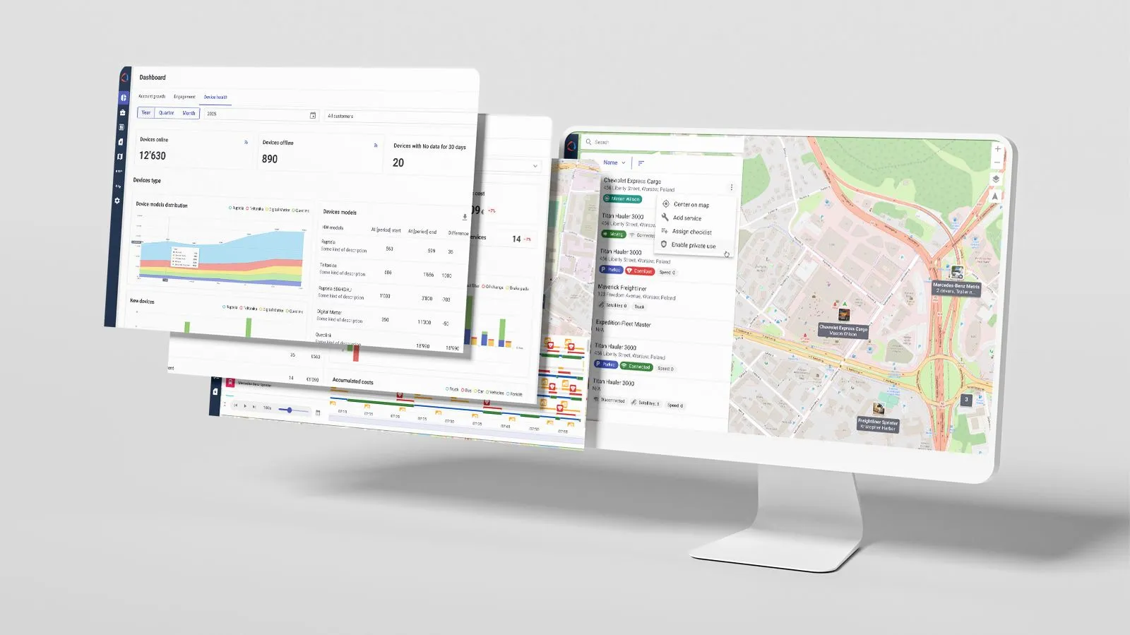
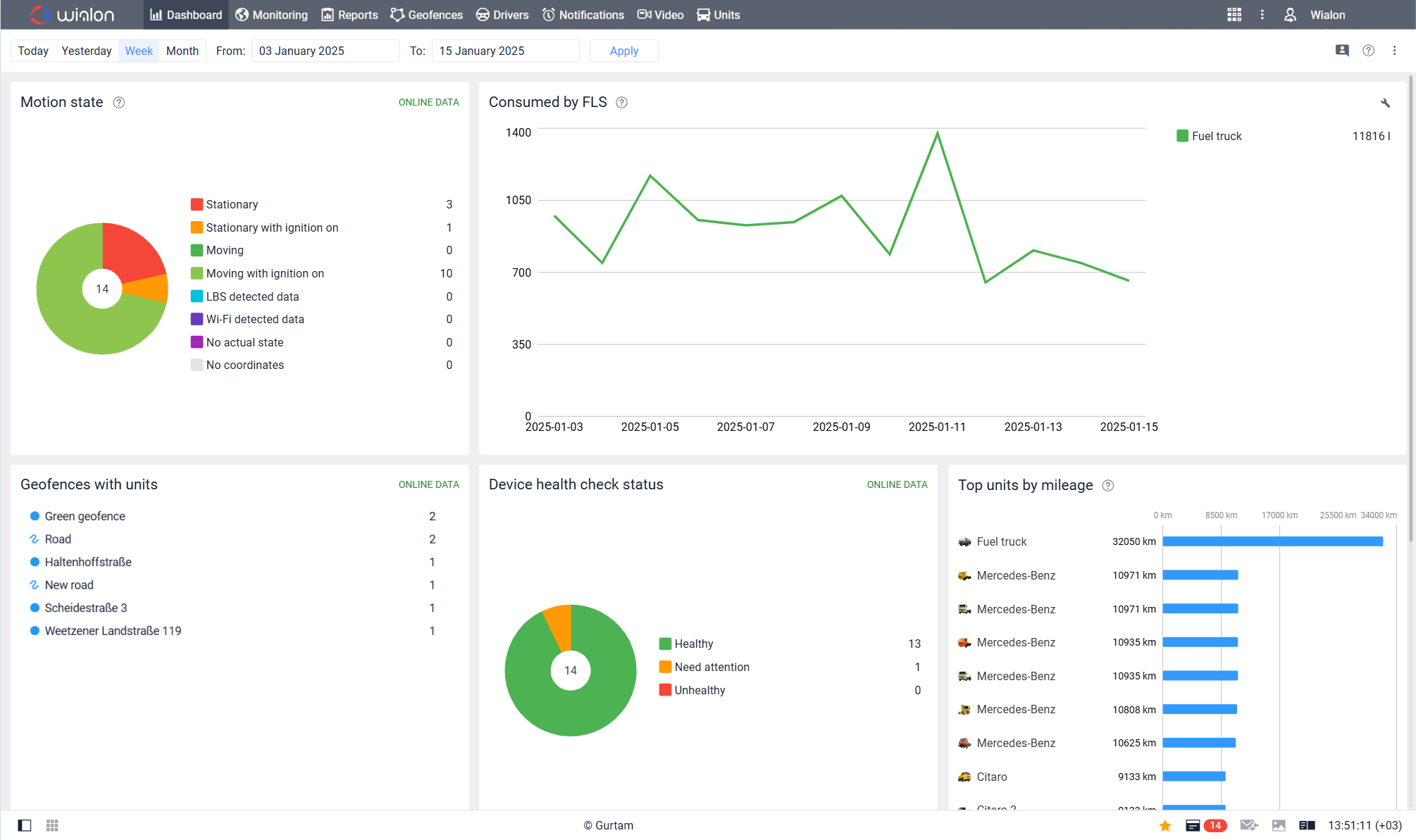
Comprehensive dashboard
Get a detailed overview of fleet data
3
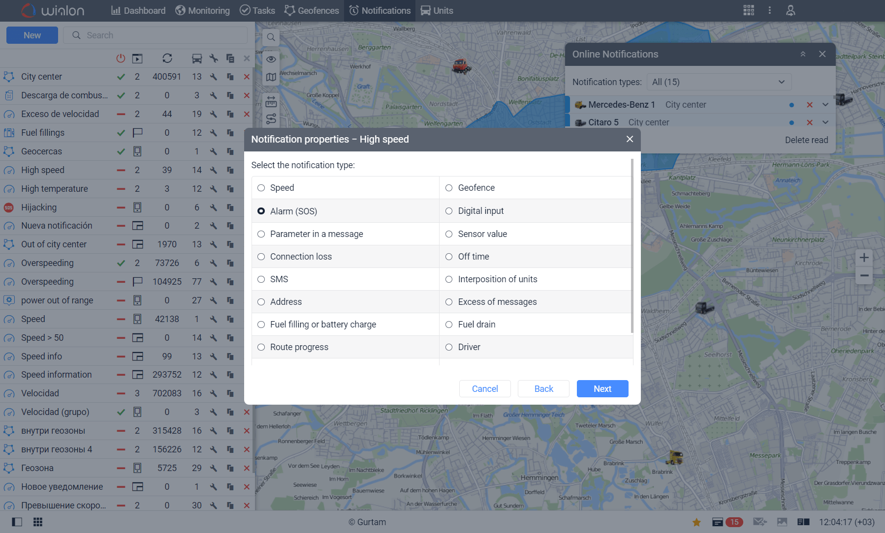
Notifications and alerts system
Stay informed on what matters
4
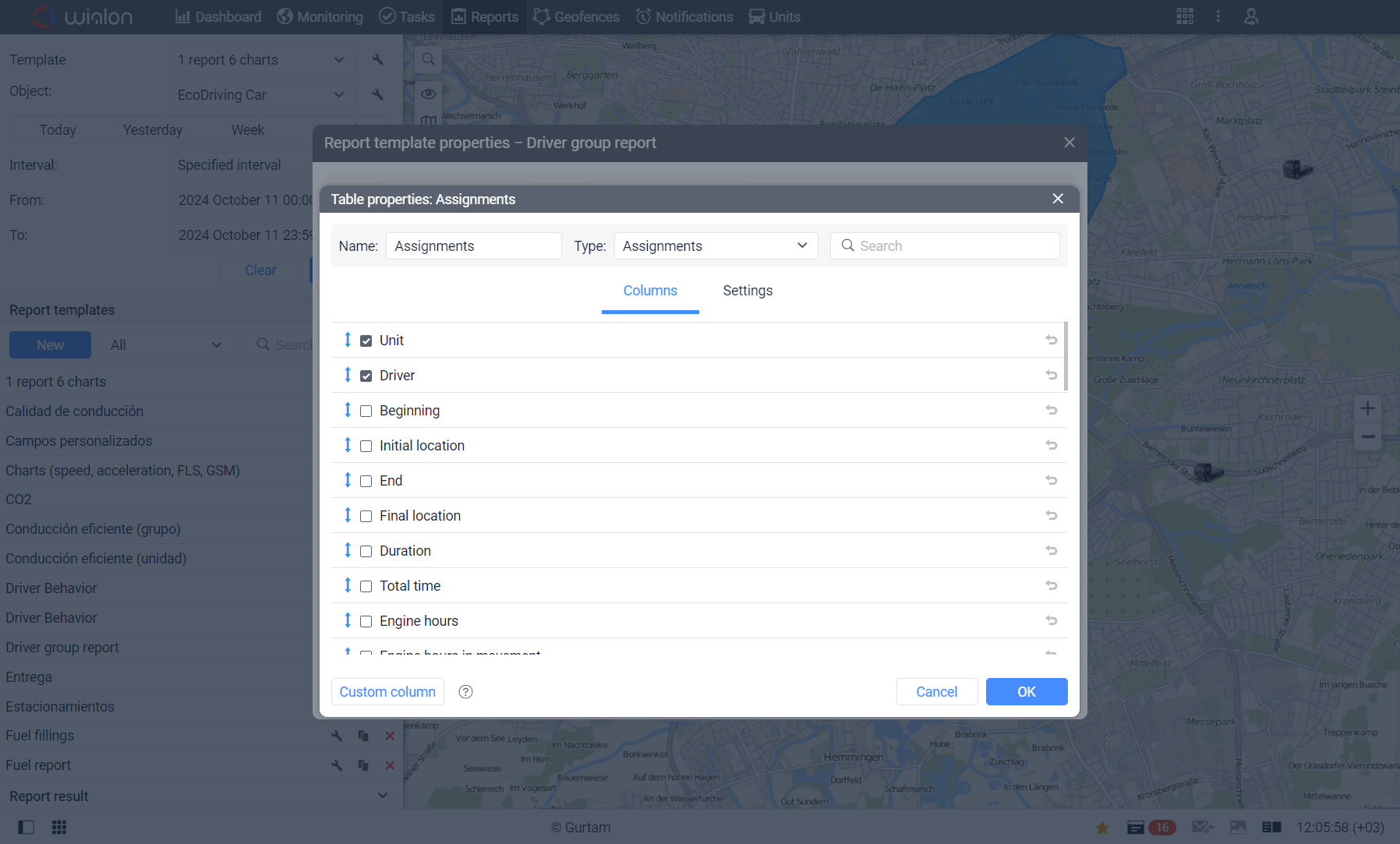
Advanced reports
Easily manage your report data
5
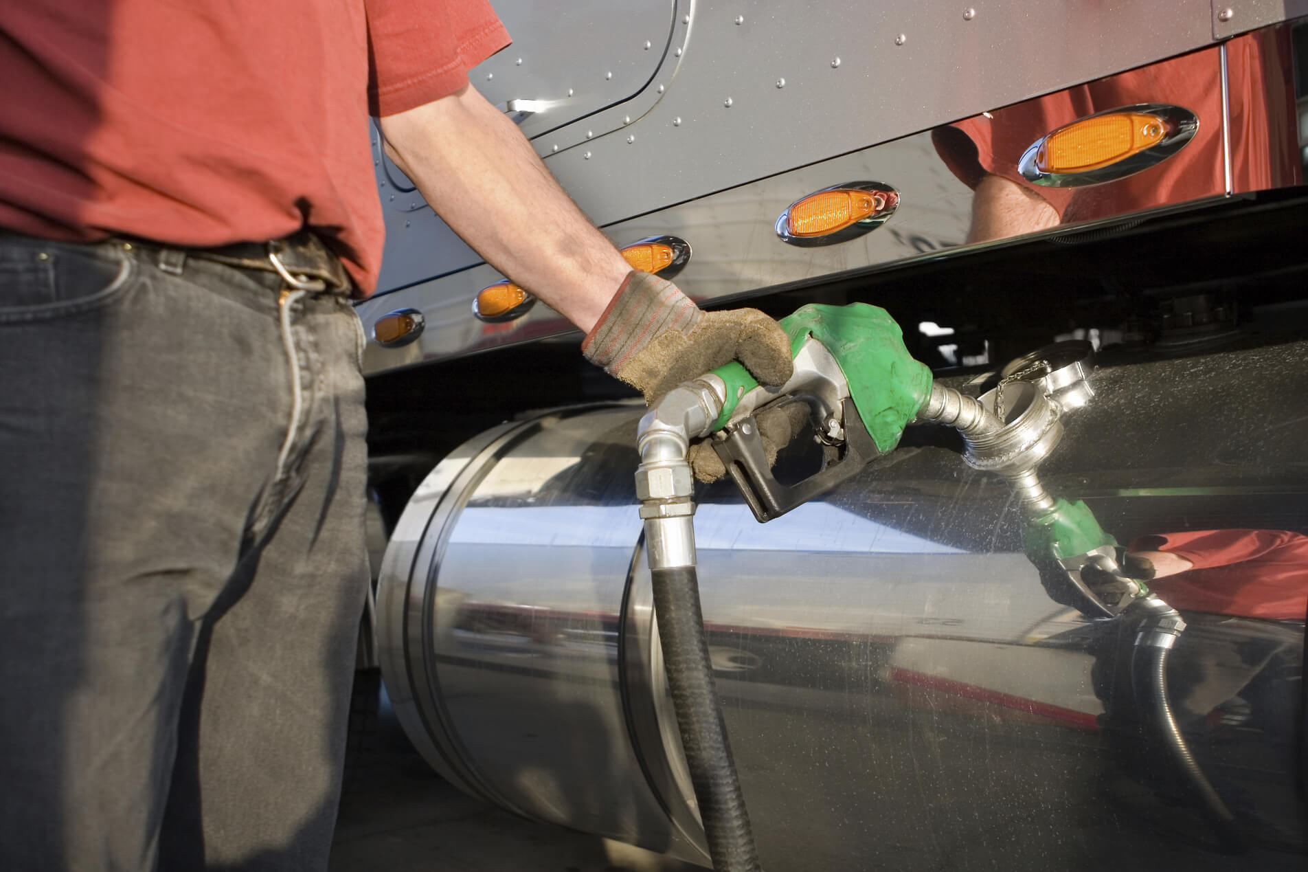
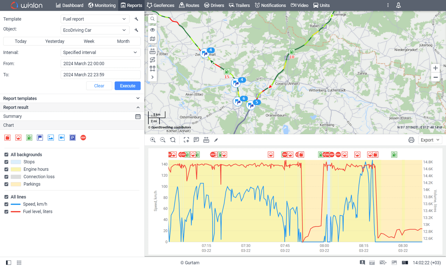
Fuel management
Optimize fuel efficiency to reduce costs
6
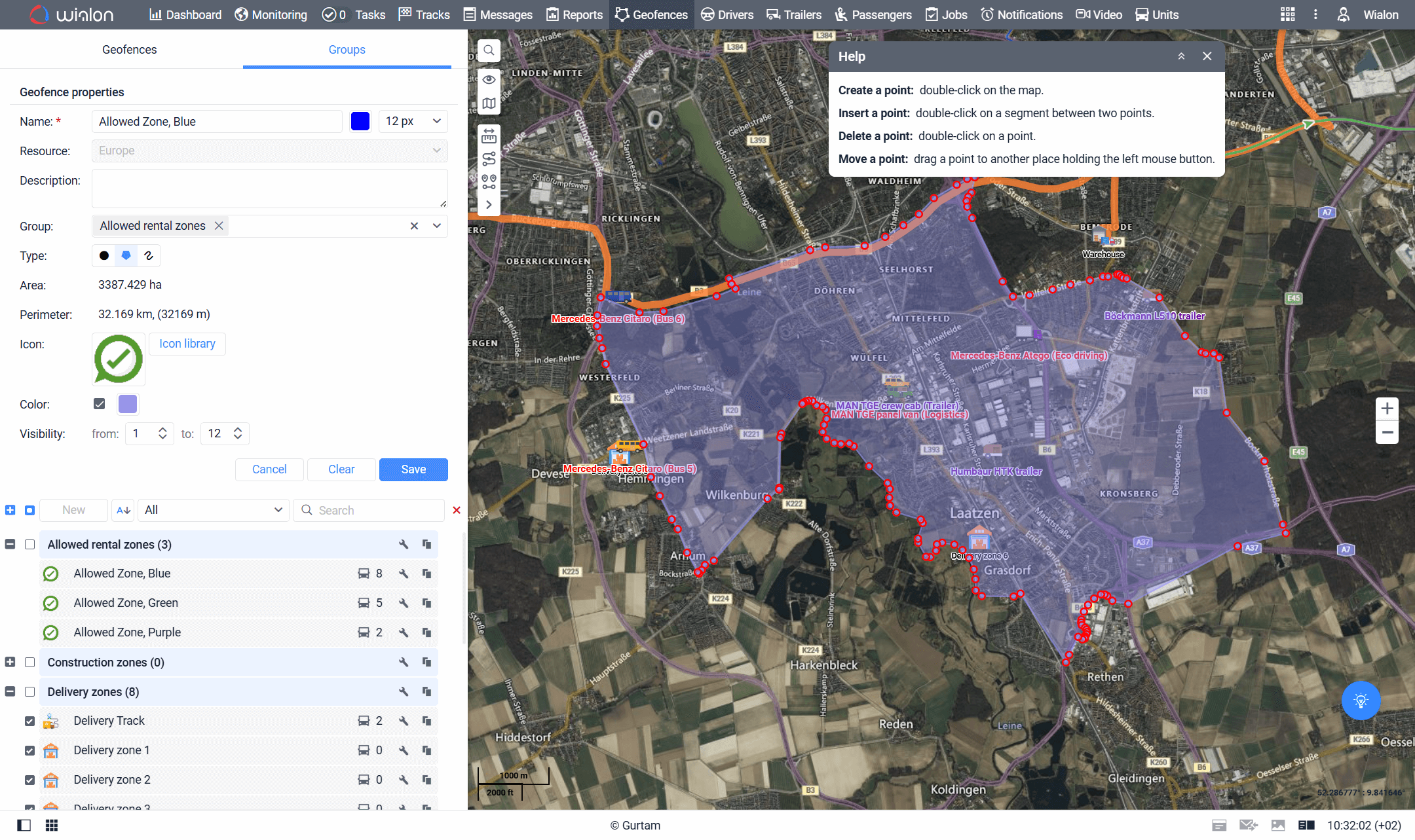
Geofencing
Track units and events in a specified area
7
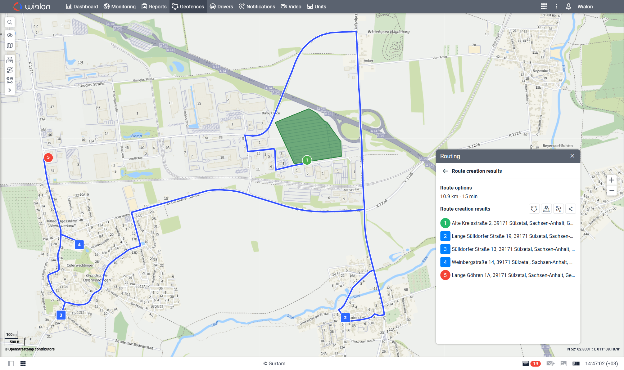
Route optimization
Reduce mileage and time to destination
8
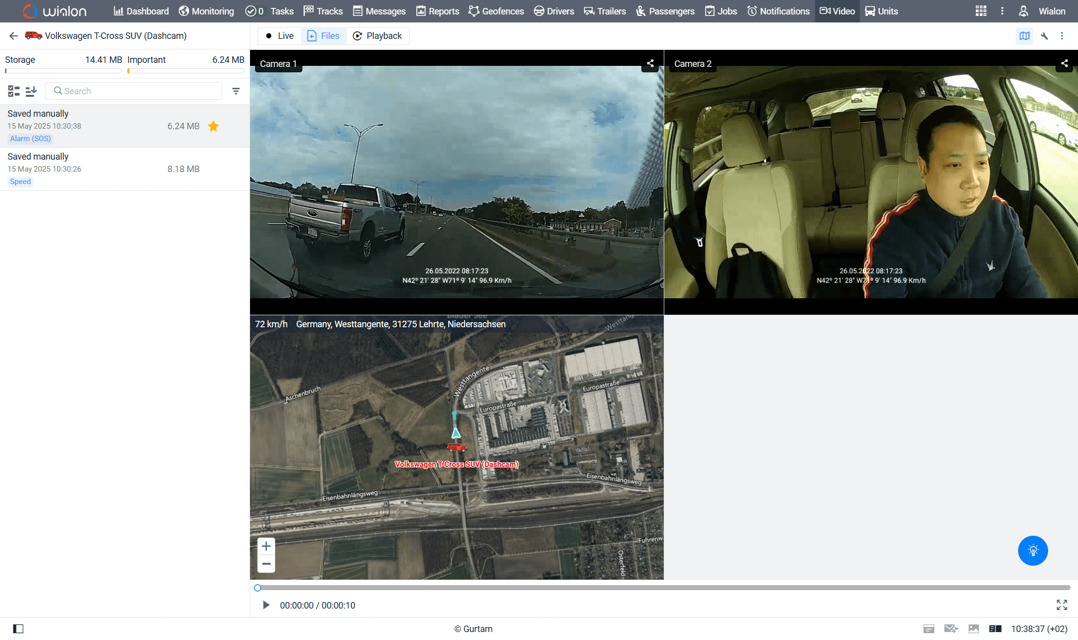
Video telematics
Gain direct insight into road events
Monitor numerous parameters real-time
Get a detailed overview of fleet data

Stay informed on what matters

Easily manage your report data

Optimize fuel efficiency to reduce costs

Track units and events in a specified area

Reduce mileage and time to destination

Gain direct insight into road events

Cloud-based or server-based — tailored just to your business
Wialon offers two versions of the fleet management solution, designed to meet the specific needs of your business: cloud-based and server-based.
 Wialon in cloud
The cloud solution is stored and managed in advanced data centers, ensuring high performance and security.
-
Cost-efficient: no server-related fees
-
Quick to launch: get started within an hour
-
Reliable Tier 3 data centers in the US and Europe
-
High performance with 99.5% SLA-guaranteed uptime
-
Top security in compliance with ISO 27001:2017
 Wialon on server
The server solution is safely deployed on your or your client’s server and offers a storage capacity of up to 20,000 units.
-
Flexible deployment on your or your client’s servers
-
Easy to admin with Debian Linux included for straightforward management
-
Securely stored data can be accessed only by authorized individuals
-
Self-managed with autonomous updates and troubleshooting
Necessary information at your fingertips
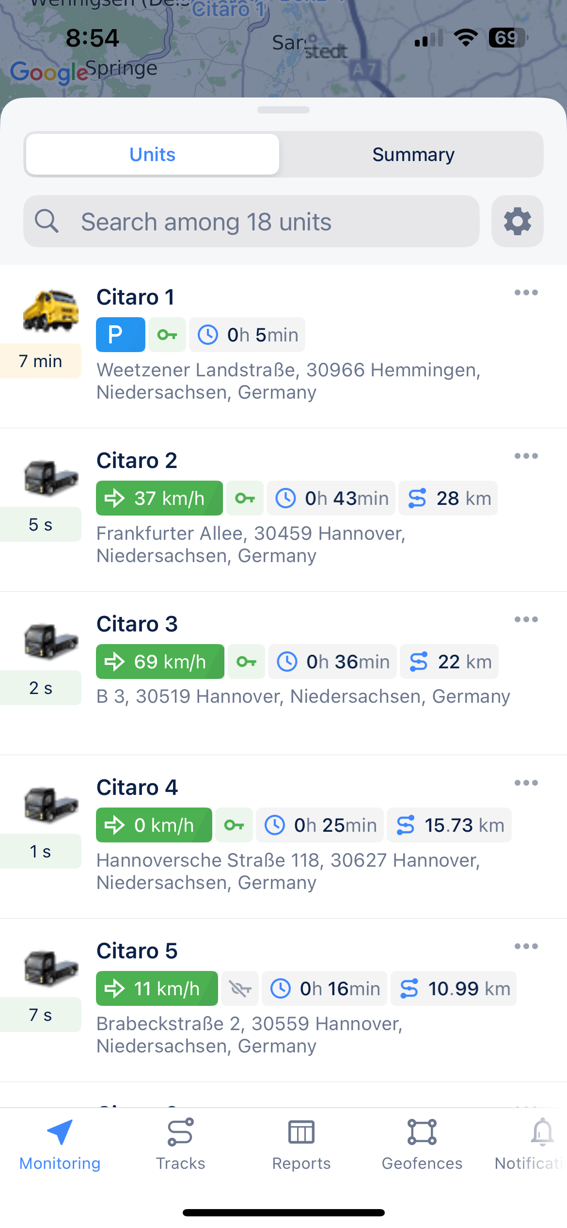
With the dedicated mobile app, you and your clients can use the Wialon fleet management platform anytime and anywhere.
Units list control
Get all the necessary information on movement and ignition state, data actuality, and unit location in real time.
History
Control the unit’s events (movement, stop, fuel fillings and drains) in chronological order and display them on the map.
Commands
Send commands: message, route, requests for configuration or photo from the camera for the unit remote control.
All-in-one monitoring interface
Track unit locations, view telematics data, and assess fleet status in real time — all from a single screen.
Geofences
Switch on/off the visual display of the unit’s location inside of a geofence instead of address information.
Tracks
Build tracks for vehicle movements, displaying speed, fuel fillings and drains, and other data over a specified period, visualized on the map.
Informative reports
Use the detailed data on the vehicle’s rides, stops, fuel drains, and fillings for decision-making on the spot.
Wialon: the single solution for diverse needs
Grow your business with us
Become a Wialon partner
Use Wialon to provide fleet digitalization services and empower your clients to optimize operations. Unlock Wialon’s expertise, reliable support, and other benefits — all aimed at helping your business thrive.
Get started
Find your local Wialon provider
Get a flexible fleet management solution tailored to your needs — connect with our partners to digitalize your fleet, improve operational efficiency, streamline fuel management, and cut costs.
Search by map
