Gurtam Maps
Gurtam Maps is Wialon’s proprietary geographic information system (GIS) that provides address data for online tracking and reporting.
With support for custom data integration, it empowers you to create tailored maps for your fleet management projects while maintaining full control over your mapping data.

0.2 seconds
100 waypoints
>1 TB
Key advantages
Availability by default, free of charge
Regular updates to mapping data
Partnering with major mapping services, including Google Maps, HERE Maps, and more
Customization options to add objects, locations, and layers
Control over custom data access and the ability to correct inaccurate information
Compatibility with popular vector formats: ESRI Shapefile, GeoJSON, KML, and more
Gurtam Maps features
User-friendly display
A modern legend and high-quality visualization of map elements and layers for effective monitoring.
.png)
Direct and reverse geocoding
Customizable address formats to match client-specific requirements.
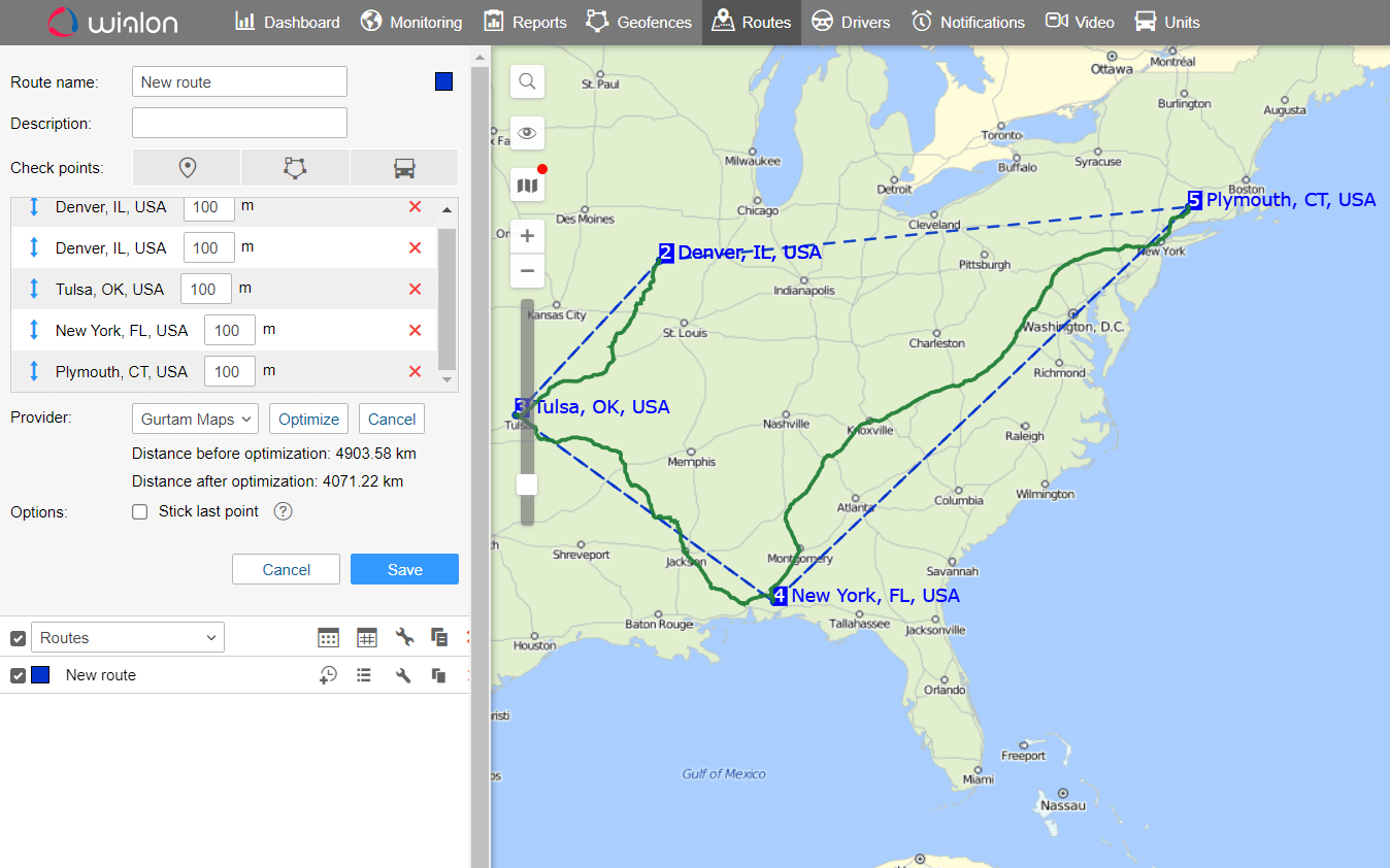
Route planning
Efficient route calculations to determine the shortest path between points, including distance and estimated travel time.
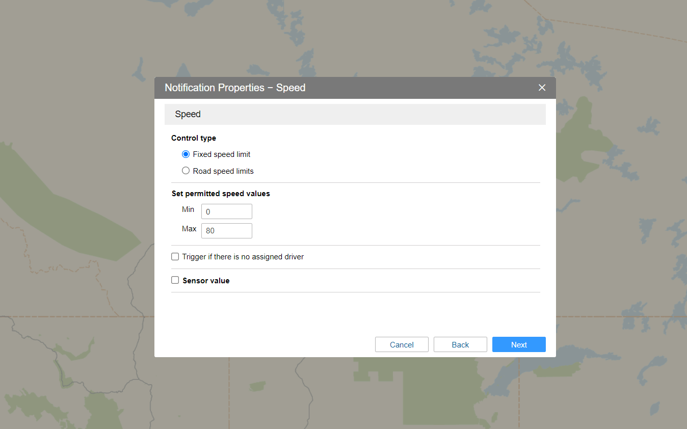
Speed limit information
Ability to detect speed limits based on GIS data.
Updates and news about Wialon
Learn more about Wialon, the ultimate fleet management platform. Explore new features and updates, and discover insights from the world’s largest professional community of telematics experts.
 (1).jpg)


.png)