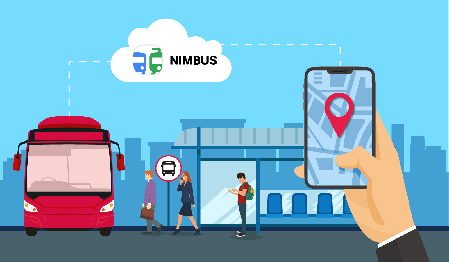
In autumn 2017, we launched NimBus, and it has come a long way since then. For example, NimBus allows to integrate stops information display and share units locations using the Locator tool. And also NimBus has API now. We’ve shared the first cases of how the solution was applied and implemented in real-life projects in Mongolia, India, Sri Lanka.
OVERSEER, our Ukrainian partner, developed a NimBus-based mobile application. It helps to make effective use of Kyiv public transport.
Solution target audience
Kyiv region includes 25 districts, 26 cities, 30 towns, and more than a thousand villages. Each and every area has its own transportation system. The Kyiv region alone numbers more than five hundred bus routes connecting its towns, cities, and Kyiv. Some of the routes exceed one hundred kilometers.
Such an impressive transportation system should be taken under control. And passengers could definitely use some help to learn how to use it effectively.
Infrastructure Management Division of KRSA (Kyiv Regional State Administration) wants to control passenger transportation. Carriers need to comply with standards. And passengers want to get good service. It is not that easy to satisfy all the needs. And the development of the relevant monitoring system from scratch is an expensive, long and complicated task. But our partners have designed a proper solution suitable for all the participants involved in the transportation process.
This application helps the Infrastructure Management Division of KRSA controlling passenger transportation to perform their duties more effectively. With the help of their smartphones, they can track public transport online, look through the information on stops, available routes and schedules, reveal deviations from the routes.
Passengers, in their turn, can use their smartphones to see the same information and use it to make their traveling across the Kyiv region more comfortable.
How it works
Infrastructure Management Division specialists together with Surbis LLC (a Ukrainian company-integrator, which participated in the project development with OVERSEER) manage the data on the units, stops, schedules and routes in NimBus.
Carriers also have access to the app, so they plan routes and put buses on these routes.
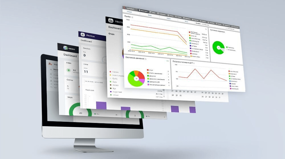
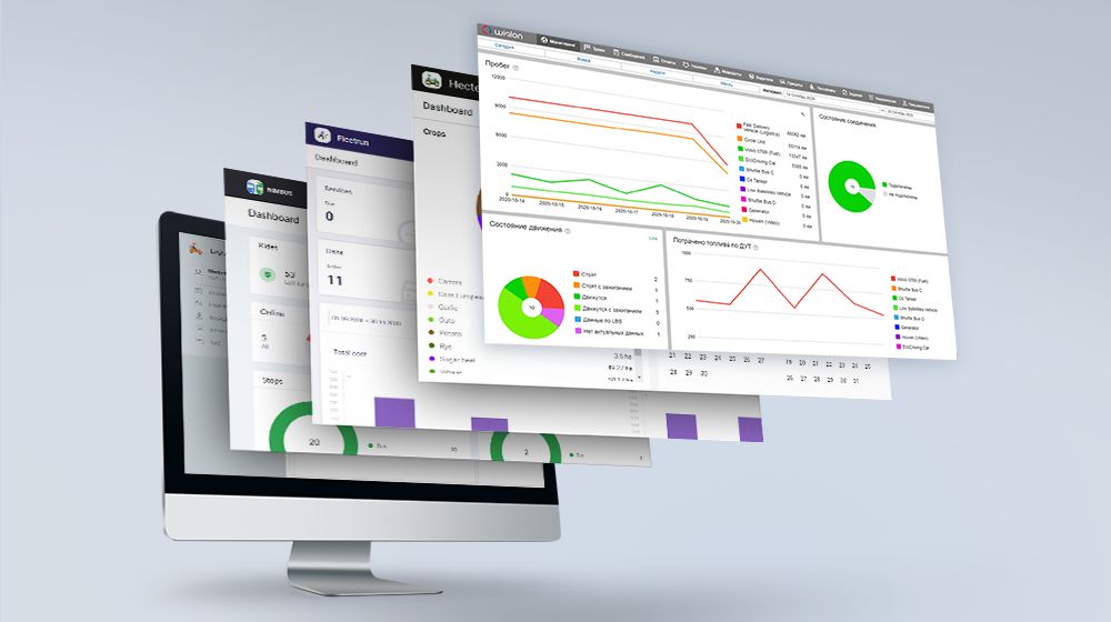
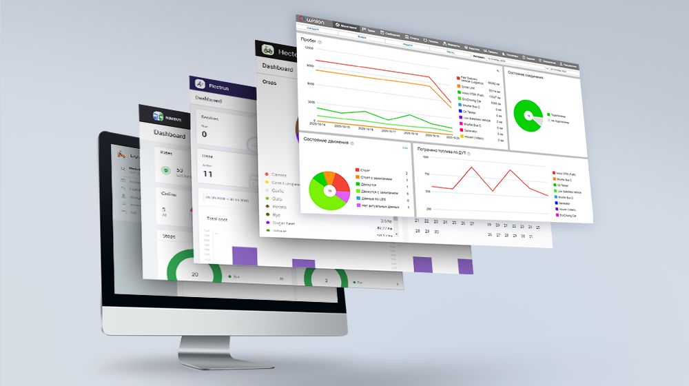
Then NimBus provides this data to KyivBus using NimBus API. The solution also works with Wialon using Remote API. The app tracks the location of the units in real-time through the interaction with the monitoring system.
The project has the only disadvantage at this stage. Not every unit is equipped with GPS trackers right now. That’s why some buses are not displayed in the app. However, the number of the GPS-equipped buses is constantly increasing.
Right now the mobile application is a fully-fledged solution providing the necessary range of functions. Still, the developers keep extending KyivBus functionality and improving it. So the passengers will have better experience using the app.
Now some more details on functionality.
Functionality
You just need to allow the app access to the current GPS location of your device. It is that simple. Then, using this data, KyivBus finds the nearest stops within the search area specified in the settings.
The search area for the nearest stops can vary from 50m up to 3 km. The user may also search for the stops anywhere in the Kyiv region regardless of their current location. They just tap any new location on the map, to get detailed information about the buses running in this district.
Tapping the stop icon, the user gets the name of the stop, the distance to it from their current location. The user can also find out which vehicle is going through this stop and when. The application displays the arrival time of the next three units.
After choosing a route, the users will see it on the map. They will also get information on the schedule, direction, vehicles running on this route, as well as its real-time location. By tapping the bus icon, the user can see the bus plate number.
Result
Our partners combined Wialon, NimBus, and KyivBus and designed the complex solution suitable both for passengers and Infrastructure Management Division of KRSA. So the quality control of passenger transportation is going to the next level.
Passengers can find information on the stops, routes, bus schedules, arrival time of the vehicle and its real-time location in their smartphones;
The application saves time. Passengers don’t have to wait at the stops guessing when the next unit arrives;
It’s easier for tourists to travel around the city;
Regional administration and carriers have access to the unified NimBus system, where they can collaborate more efficiently;
This solution helps to improve the quality of transport services. All the participants involved in transportation routine can monitor whether the unit follows the route and take necessary measures in case of some irregularities or issues occurred.
KyivBus is available on Google Play and AppStore
Using SDK and API, one can employ out-of-the-box Walon-based solutions of any complexity. Go to developers of Wialon-based solutions page and learn about other Gurtam partners projects.
Do you like the solution? Are you interested in developing a similar application for your city? Contact us at marketing@gurtam.com, and we will introduce you to the developers. Please, share your stories of success with our marketing department.


