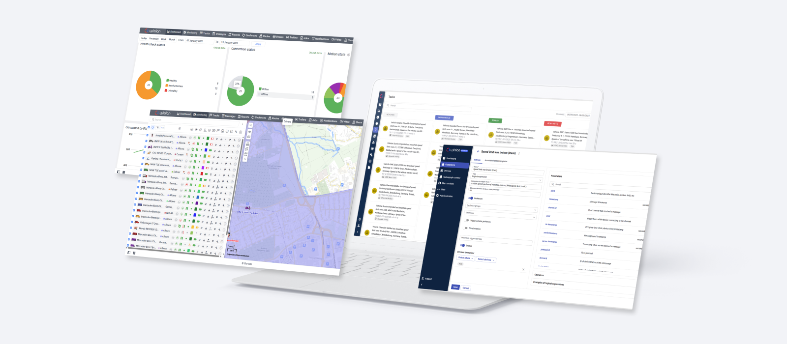
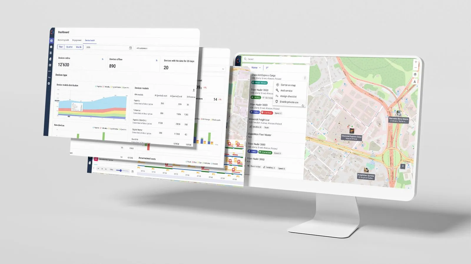
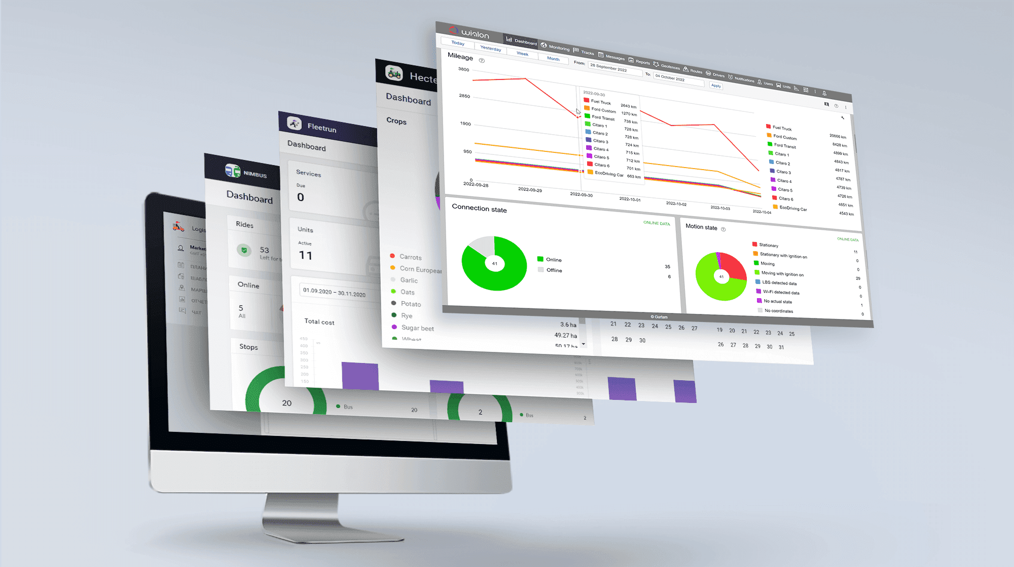
Today the update of Wialon Hosting is on the agenda. In the new version, you will find a number of improved and optimized features. Hecterra and Fleetrun, our flagship applications, will please the users with useful options. And finally, Gurtam's popular product, Logistics, has also been updated. How exactly? Read on to know.
Wialon Hosting
Interface improvements
In order to make the interface more user-friendly, we have changed the layout of some blocks:
- top navigation panel;
- work list;
- bottom information panel;
- dialog boxes;
- out-of-blocks area.
Now it has become even more convenient to operate in the system.
Geofence sorting while rendering
Previously, geofences were rendered randomly, and it was impossible to assign their display order if they overlapped. Sometimes, a small geofence might not be visible if it was displayed below a larger geofence.
Now the display sorting is as follows: large geofences of a circle type and geofences of a polygon type are located below smaller geofences; geofences of a line type are always higher than other geofences. It allows escaping the unwanted geofence overlapping and ensures the visibility of each of them.
Geofence rendering immediately after they are created
Before, to see a new geofence on the map, it was needed to additionally enable its displaying in the geofence list after creating. Now, after creating a geofence from the interface, it is displayed on the map by default. And there is no need to spend time manually enabling each created geofence.
Please note that the imported geofences are not rendered by default.
Search by phone number in the work list
We have added a new search criterion in the dashboard – a phone number. For example, it has now become more convenient to search for specific vehicles if you analyze traffic consumption by units and want to find a unit by the SIM card phone number installed in its tracker.
Activated units, the new service in CMS
The new Activated units service provides billing only for active objects, excluding deactivated ones. To enable this functionality, a user should specify the cost in the new service and remove this cost from the Units service.
The calculator design improvement
Earlier, when working with formulas in the calculator, users faced the following problem: when editing an existing formula, the not-so-big cell size became even smaller. In the current update, we have added more space for the formula, and the whole formula is visible now.
Adding a converter to the calculator
Our users often employ the calculator to determine the duration of different time intervals. Previously the result of such a calculation was provided in seconds. We have added a converter that allows producing the result in a user-friendly format: hours:minutes:seconds, as well as in the date and time format.
The report interval beginning and end displaying option
The following constants have been added to the calculator:
- “report interval beginning” (date and time of the beginning of the reporting interval);
- “report interval end” (date and time of the end of the reporting interval);
- "report interval in days";
“report interval in hours”.
Due to this, the report interval beginning and end displaying option has appeared, and the following opportunities are now available to users:
- calculating the time the vehicle was with the engine on or with the ignition off as a percentage, the average time between stops, parkings, services;
- determining how long the units stayed outside the geofences without drawing additional complex geofences;
- displaying the difference between the filled fuel amount and the rate in the monthly report.
Order confirmation/rejection time registration
To register the order confirmation or rejection, we have added a dedicated column – Confirmation/rejection time. Now users exactly know the time of confirmation or rejection instead of constantly being aware of any change in the status of the order.
There is a special topic where the Gurtam forum users can learn about the new Wialon Hosting features. Get registered if you haven’t done it yet.
Hecterra
Resource backup
Previously, to transfer data from one account to another, you had to fill in and register information. Now you can create a resource backup not only for transferring data from one account to another (Wialon Hosting to Local, too)but for storing a backup in case of data loss and arrange a demo and new accounts quickly. A resource backup contains:
- fields;
- crops;
- crop rotation;
- operations;
- properties of implements;
- cultivations (including information about the existing and deleted units, drivers, and trailers);
resource settings.
Read more about creating a backup in the documentation.
The visual components of cultivations (tracks, overlaps, omissions on the map, etc.) are not saved in the backup. However, their calculated areas and percentages are saved.
Dashboard page modification
On the Dashboard page, you will find the updated interactive Crops block. So, when hovering the desired sector of the chart, in the tooltip, you’ll immediately get the information about what kind of crops it is and what area it occupies. If you click on the sector, you will go to the fields page, where these fields are listed on the map, filtered by crops. These improvements make the Dashboard page more informative, and you can find the necessary information in a more accessible and faster way.
Time layers for WMS maps
We have added the option which allows you to see different versions of the WMS maps depending on the selected date. Now you can observe the state of the fields, weather changes, and so on.
Display the area of fields on the map
Recently, we have added the ability to display field names on a map. Now, in addition to names, the area of fields in hectares is immediately indicated on the map. This new feature makes the map more informative and helps the client save time.
More details on the Hecterra new features are in this topic.
Fleetrun
Creation of custom fields
Previously, there was no functionality for specifying additional data that is specific to the fleet. With the addition of custom fields, you can store any information about the services, for example:
- the mechanic’s name, service station’s name;
- invoice number;
- information about how the service was paid: on a warranty or the clients paid for it themselves;
- the vehicle’s color and model, and etc.
Please note that custom field values can be entered manually or predefined, i.e. selected from a list compiled in advance by the fleet administrator.
New report type by custom fields
If at least one custom field is created in the fleet, you will find the option “By custom field” in the report type. Thus, it is now possible to quickly and conveniently analyze data, focusing on information stored in the custom fields.
Adding custom fields to current reports
Now you can find the information specified in custom fields in the existing reports.
This option makes existing reports more informative and up-to-date.
Italian in the interface
The application functionality is now available in Italian.
Find more details on Fleetrun new features in this forum topic.
Logistics
You have not received news about this product for a long time, but now we are willing to please you with beneficial updates.
Icons grouping on the map
Previously, many closely placed icons on the map were combined into a common one. And you were not able to plan and build routes using the map, because it was impossible to see the actual location of each icon.
We have added the option to turn off the icons grouping in the General tab. Now, if the grouping is disabled, closely placed icons will not be combined into one. Thus, you can see all orders on the map without shifting.
Allow filling in order coordinates in the address field
In the Address field, you can create an order by entering the address or coordinates in the "Latitude, longitude” format. For example, if delivery is carried out to gas stations or to the places with no address (a roadside, a stop), you can specify the coordinates.
We have also added the opportunity to enter both addresses and coordinates in the table of orders in the dedicated Address column. Accordingly, it is now possible to import orders at one time with both addresses and coordinates.
Visit the forum and read about the new Logistics options. Please share your experience with the updated functionality.
In a month, we will prepare the review of July features. Meanwhile, feel free to try and test the new and improved functionality of the platform and apps as well as leave your comments on the Gurtam forum.
We also kindly remind you that it’s high time to submit your application to participate in the IoT project of the year, the first global IoT projects competition focused on telematics solutions. Tell the world about your company!


.png)


