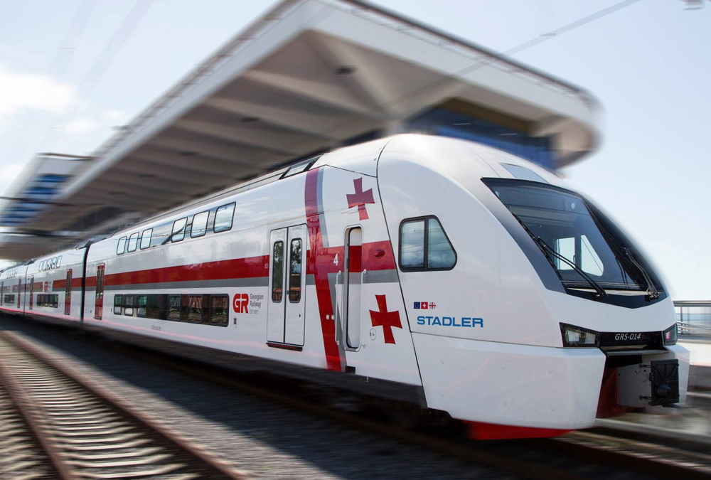
Georgian Railway is the national rail transport company of Georgia.
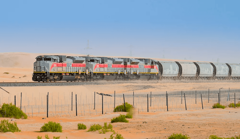
It provides both freight and passenger services, though freight remains the company’s primary source of revenue. Every day, trains carry oil, metals, grain, and other goods between Azerbaijan, Central Asian countries, and Georgia’s Black Sea ports — forming a vital link in the region’s logistics chain.
Challenge
For decades, train dispatching at Georgian Railway — coordinating train movements, tracking their location, and ensuring they use the correct tracks for safe routing — relied on a wall-mounted map and phone communication. While functional, the system could no longer meet the needs of a modern railway operation.
Dispatchers needed:
- A digital train management system that requires fewer staff on the ground
- An interface that follows the same logic and layout as the traditional dispatch map
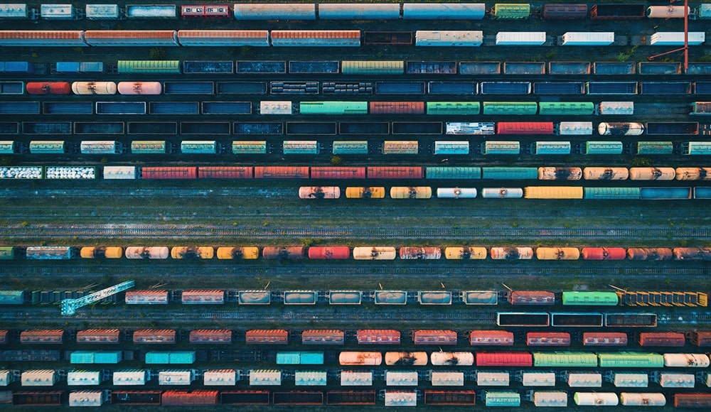
- And a way to automatically identify which exact track a locomotive occupied — even in stations where several parallel tracks run only 3–4 meters apart
GPS alone couldn’t deliver this level of precision. Even in ideal weather conditions, during the initial tests, accuracy was about 10 meters — not enough for safety-critical railway decisions.
To modernize its operations, the Georgian Railway turned to GeoGPS, a Wialon partner with over 20 years of experience in telematics.
Read on to find out why building the new train dispatch system meant sending GeoGPS technicians on a two-month journey across Georgia — making more than 4,000 stops along the way.
Solution
GeoGPS developed a GPS- and RFID-based automated location system integrated with Wialon to digitize, automate, and simplify train dispatching across the national network.
Hardware components
- Passive high-frequency RFID tags, placed at station lines
- GPS trackers (Ruptela and Teltonika models), installed on trains
- Onboard RFID readers, connected to trackers; they detect track-side tags as trains pass and send the data to Wialon via trackers
This hybrid approach — a train GPS system for positioning and RFID for line detection — ensures accuracy within 1–2 meters.
Software components
- Wialon processes data from over 400 trains, including fuel level, speed, and route history.
- A custom dispatch system, synchronized with Wialon every 5 seconds, displays each train in real time.
- The interface mirrors the traditional dispatch map and fully follows Georgian Railway standards.
- Dispatchers can see the train’s name, speed, exact track, road segment, and all relevant parameters. Also, up to three years of history is available for search and export.
- The main admin panel enables operators to create new road segments, manage users, assign access rights, and more.
Both Wialon and the dispatch system run on Georgian Railway’s own servers, accessible only via secure VPN.
See how it works:
Implementation process
The project delivery took over 2 years and included extensive testing and fieldwork.
GeoGPS engineers digitized the entire railway network, mapping every road segment. The most demanding part was collecting data for “pickets.” According to the state railway standards in Georgia, pickets are distance markers placed roughly every 100 meters along the track. They are used to identify the train’s exact position in case of incidents.
Amin Mansouri,
IT manager at GeoGPS
“For almost two months, our technicians traveled across the country by train, stopping at each picket to record GPS coordinates. More than 4,000 picket points were added to the railway tracking system manually and linked to their respective road segments.”
The resulting database reflects the real geometry of the railway — not theoretical distances — ensuring the accuracy required for reliable railway software.
The map accurately displays the actual, geo-referenced coordinates of pickets, showing real variations in spacing from the theoretical 100-meter interval
Results
The system has been in use for about 5 years and has proven extremely reliable. As Amin Mansouri notes, “Georgian Railway works with it every day across real operations, and teams at all levels — from junior dispatchers to managers — run their day-to-day tasks with it. Georgian Railway also regularly comes back to GeoGPS with requests for new features as their processes evolve.”
From paper maps to modern railway solutions
What used to require multiple calls between stations is now updated automatically every 5 seconds. Dispatchers work faster, with clear and verified information.
By combining GPS with RFID-based line identification, the system makes it easy to see exactly which track a train is on — even at stations with many parallel lines. This helps dispatchers make decisions faster and improves safety.
Operators can instantly export history data in Excel or PDF for audits, reporting, or planning. All data remains inside Georgian Railway’s private infrastructure.